Log in
All resources
Create a design
11,660 Free Images of Old Map
maps made in the 17th century
old maps of amsterdam
maps with cartouches
atlas van der hagen
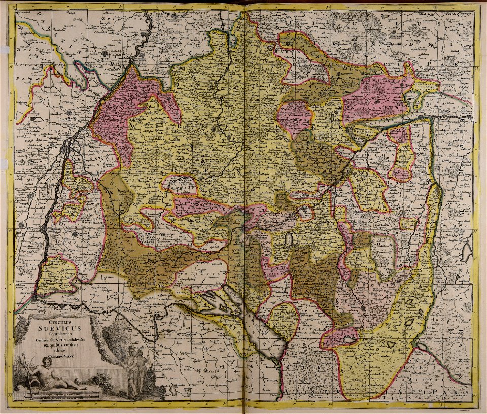
gerard valck
atlantis magni tomus tertius (biblioteca comunale di trento)
maps by pieter schenk (i)
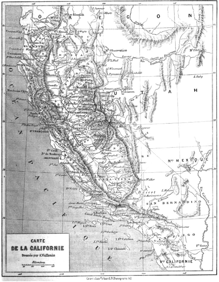
maps by alexandre vuillemin
braun & hogenberg
evert maaskamp
maps made in the 18th century
gerard valck
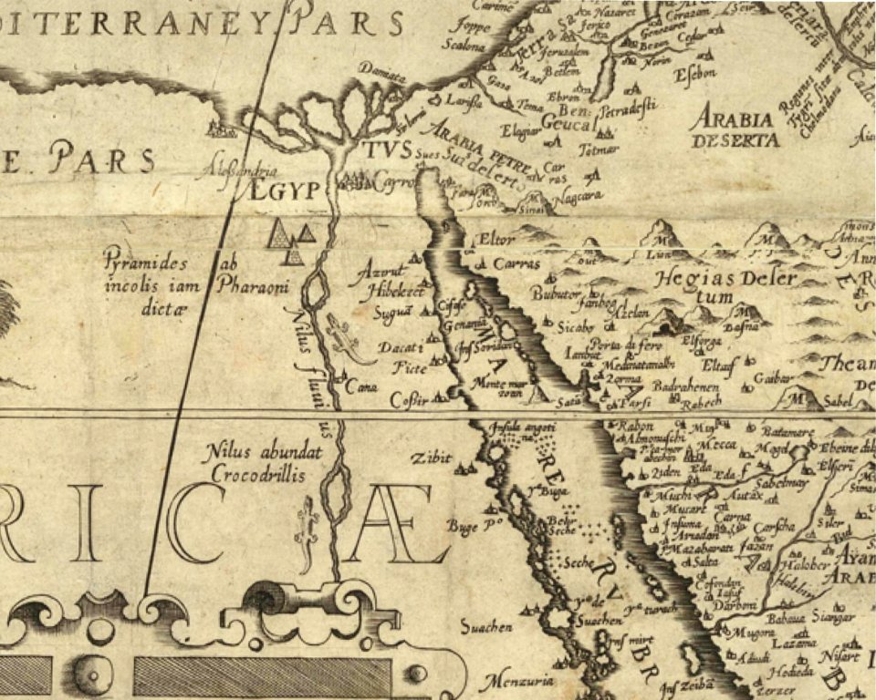
harbours in egypt
sieabo
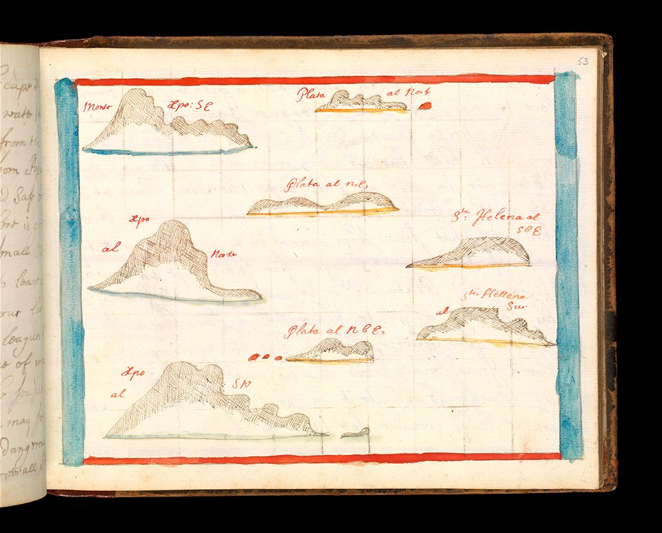
charts and maps of the royal museums greenwich
old maps of ecuador
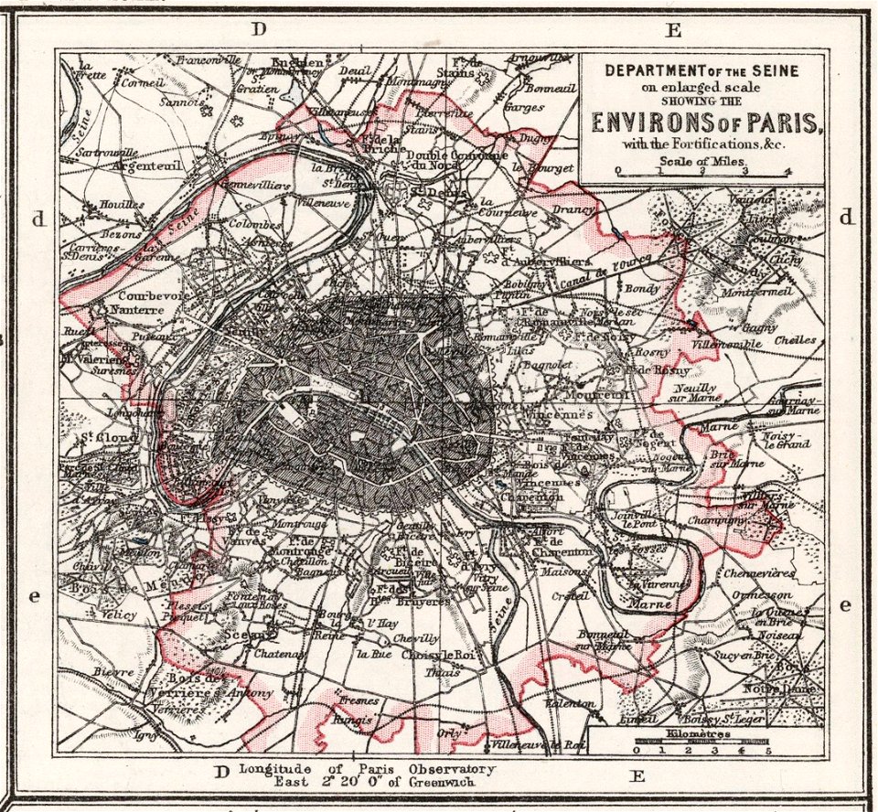
1900s maps of paris
1906 in paris
crowned eagles argent
pictorial maps
maps in the library of congress
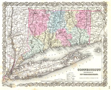
1860 maps
fahnenstangenwasser
vienna
cambridgeshire
ely
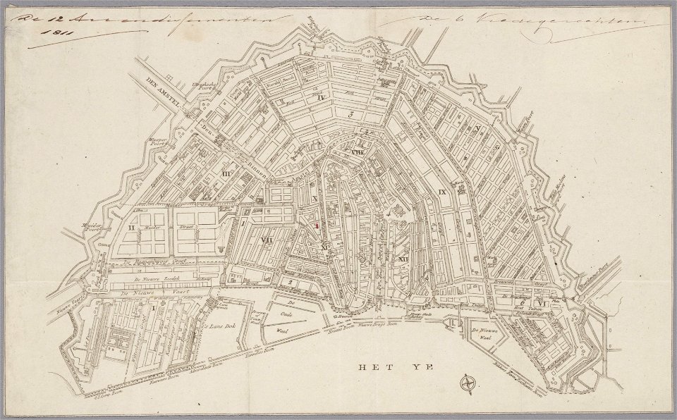
maps in the stadsarchief amsterdam
collectie atlas dreesmann
old maps of dutch brazil
johannes vingboons
volume 2 of le tour du monde
maps by alexandre vuillemin
volume 5 of le tour du monde
maps by alexandre vuillemin
maps by alexandre vuillemin
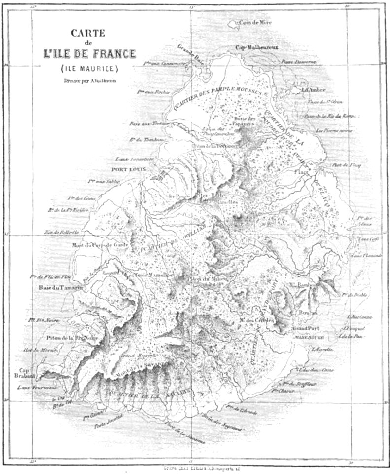
old maps of mauritius
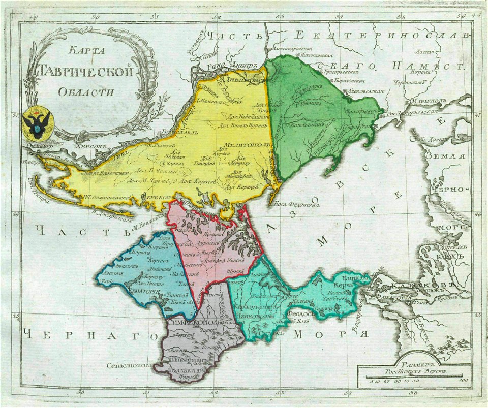
old maps of oblasts of the russian empire
small atlas of the russian empire (1792)
amsterdam
ij
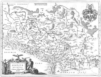
engravings of topographia bohemiae moraviae et silesiae
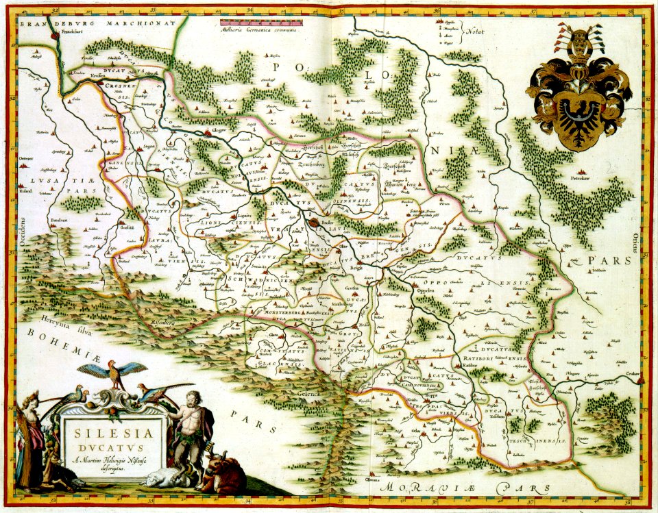
old maps of silesia
atlante veneto (raremaps.com) volume 2
old maps of île de ré
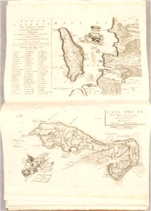
long island sound
block island
old maps of mexico
mexico
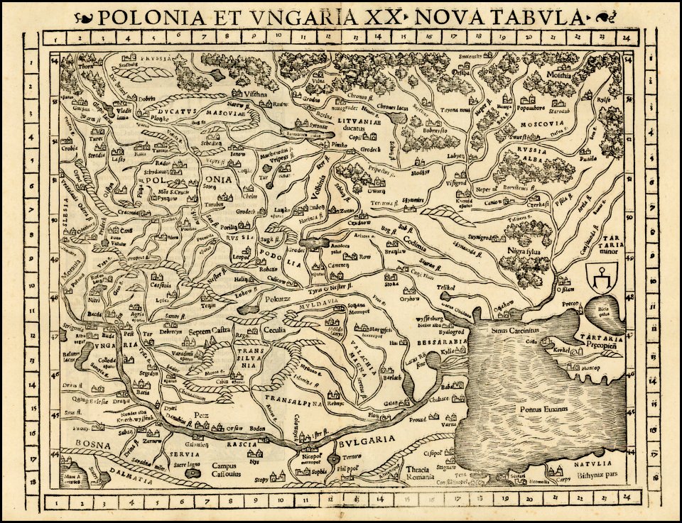
maps by sebastian münster
old maps of crimea
illustration
maps
david rumsey historical map collection
j. and p. knapton
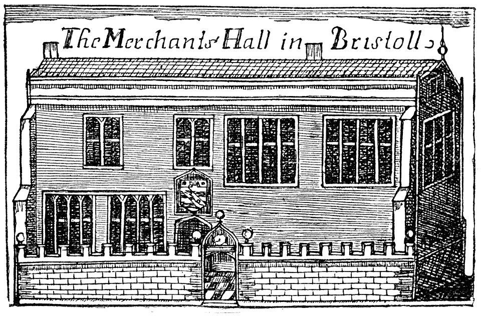
images from bristol past and present (1882)
buildings in bristol
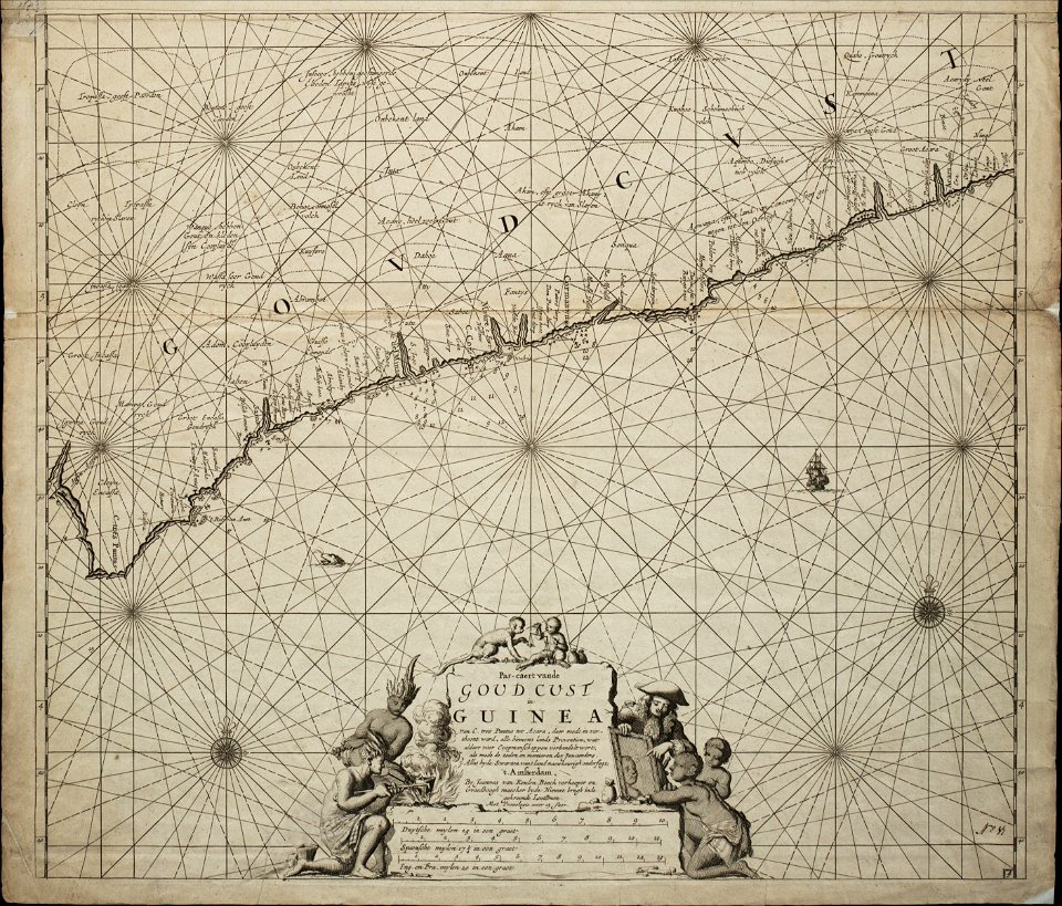
18th-century maps of africa
engravings by jan luyken
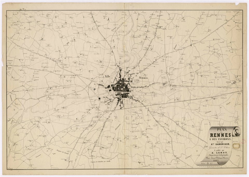
rennes in the 1850s
old maps of rennes
maps by willem and johannes blaeu
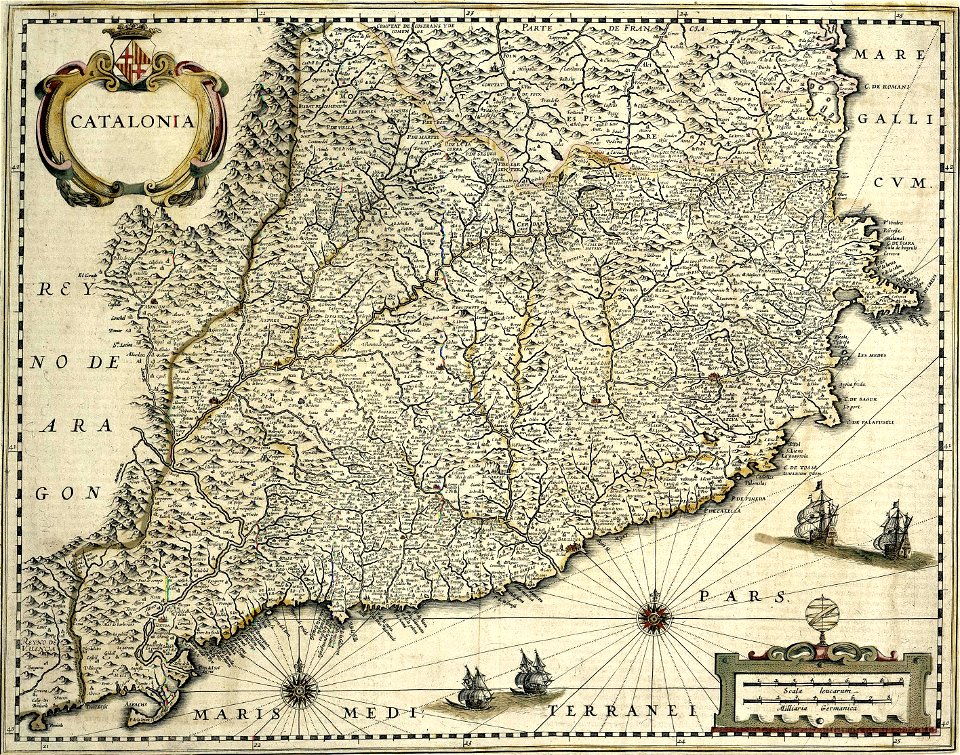
spain in the 17th century
atlas of the russian empire (1800)
maps of astrakhan governorate
history of zürich
engraved maps
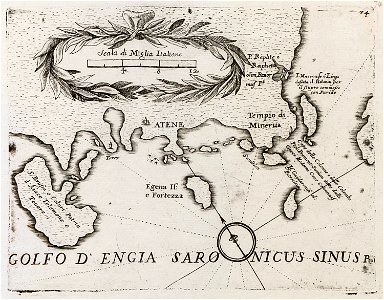
old maps of the peloponnese
maps by coronelli
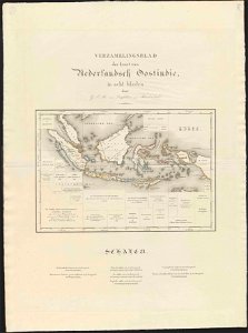
old maps of indonesia
george august tindal
maps by alexandre vuillemin
old maps of paraguay
maps of the west-indische compagnie
1746
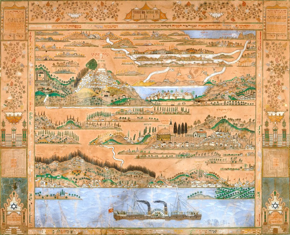
collections of the jewish museum (new york city)
old maps of israel
volume 3 of le tour du monde
old maps of australia
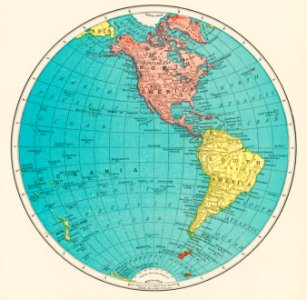
world map
maps
medieval
maps
coats of arms on maps
guelder
old maps of silesia
gerard valck
maps made in the 17th century
gerard valck
maps with cartouches
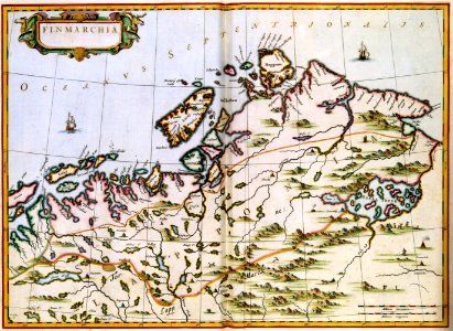
finland
trịnh lords
1718)
maps made in the 17th century
gerard valck
hand-drawn maps and views of world war i battlefields by h.m.
old maps of the english channel
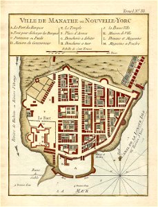
lower manhattan
new york city
maps in the biblioteca federiciana
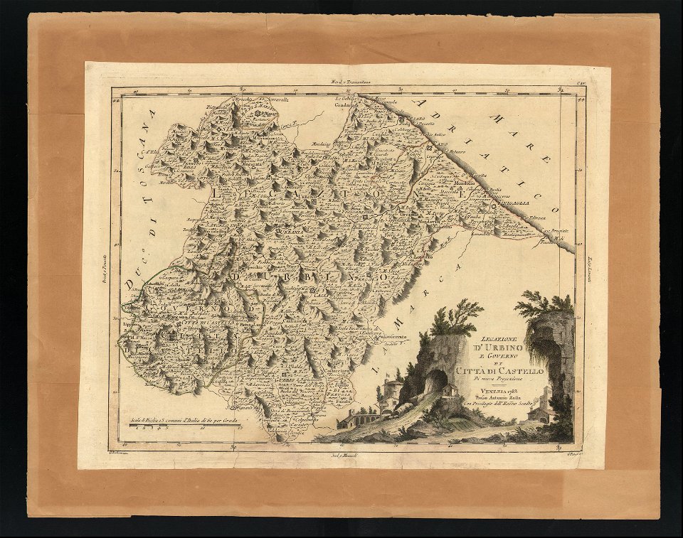
old maps of marche
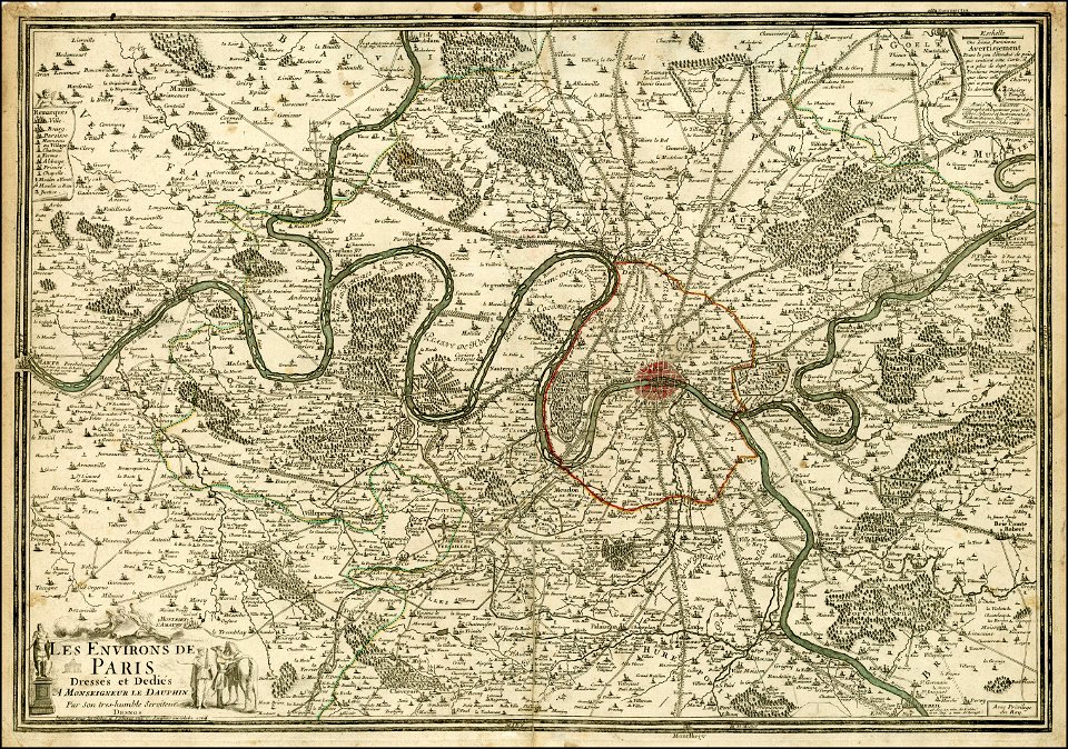
maps of paris from the barry lawrence ruderman antique maps inc.
maps of paris in the 1760s
1712 maps of puerto rico
johannes van keulen
old maps of bergamo
alvise cima
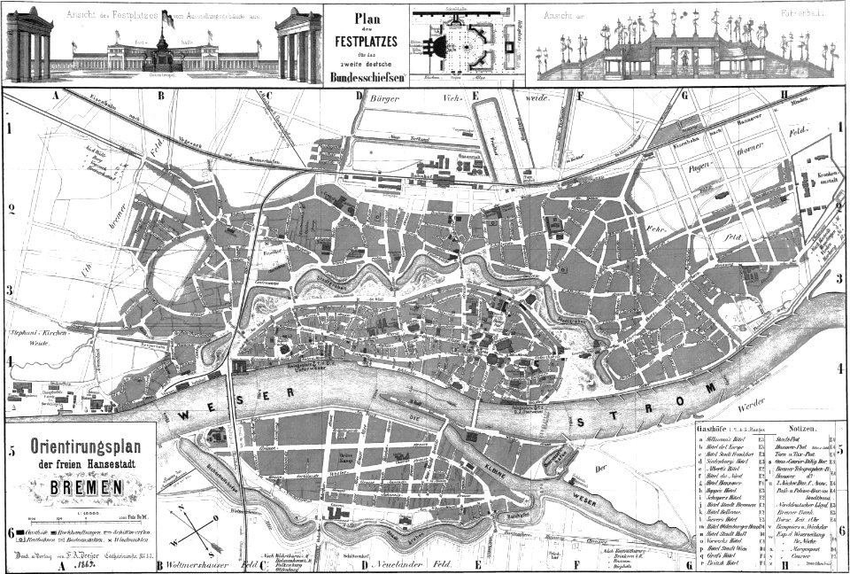
old maps of bremen (state)
bremen in the 1860s
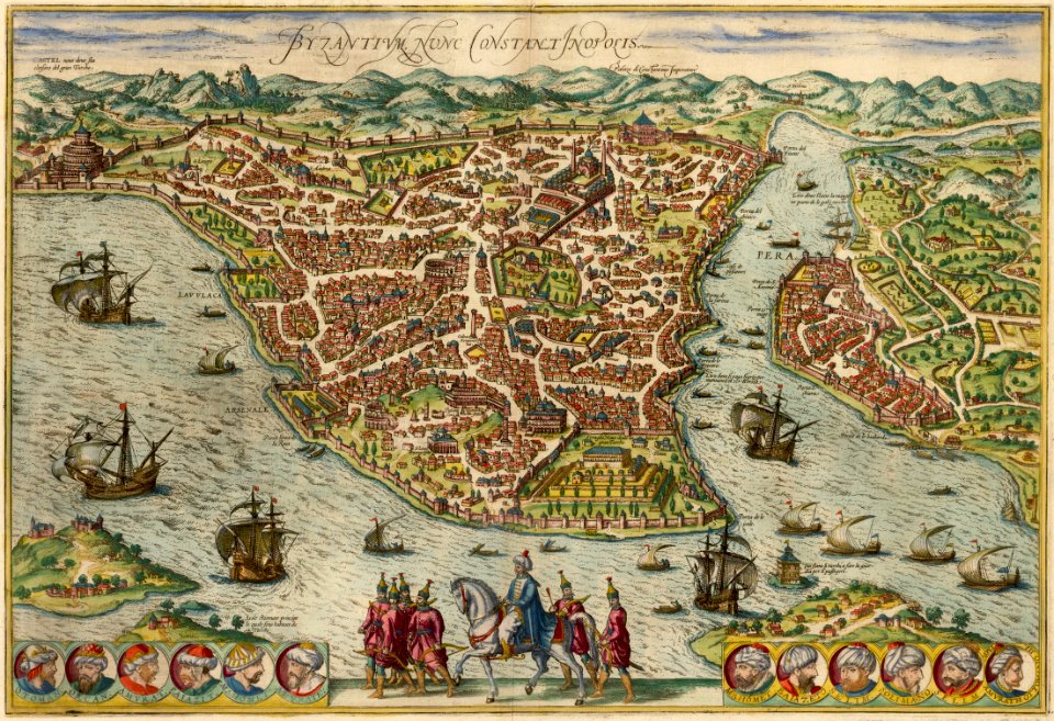
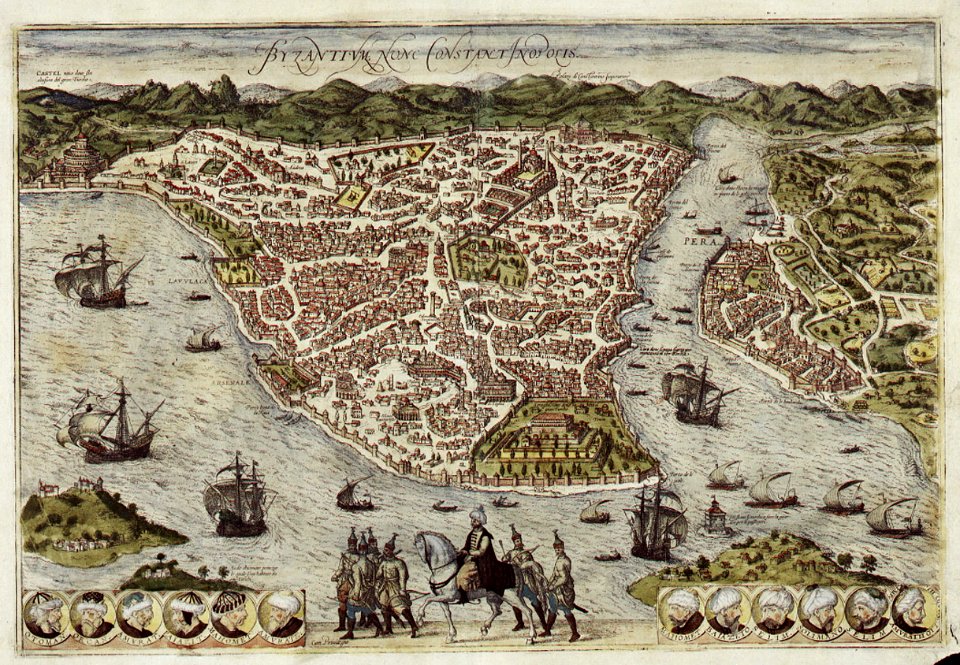
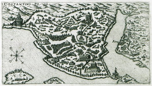
old maps of constantinople
braun & hogenberg
old maps of istanbul
braun & hogenberg
old maps of greece
olfert dapper
engravings by matthäus merian
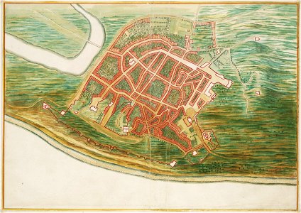
old maps of blokzijl
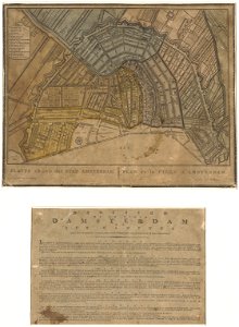
old maps of amsterdam
evert maaskamp
old maps of amsterdam
evert maaskamp
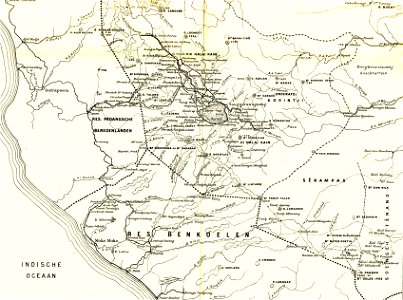
sumatra in the 1900s
old maps of sumatra
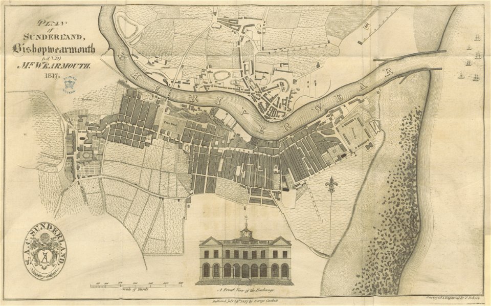
old maps of sunderland
sunderland
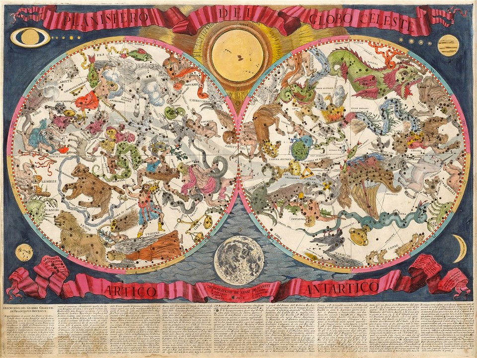
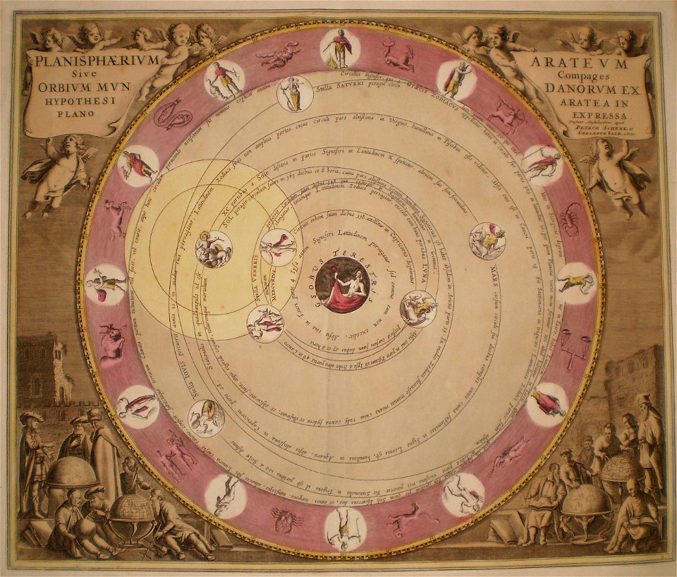
old celestial maps
francesco brunacci
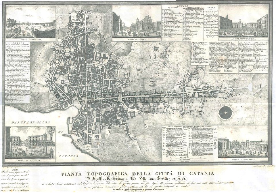
old maps of catania
old celestial maps
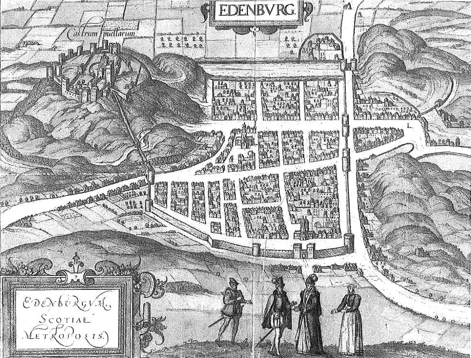
old maps of edinburgh
braun & hogenberg
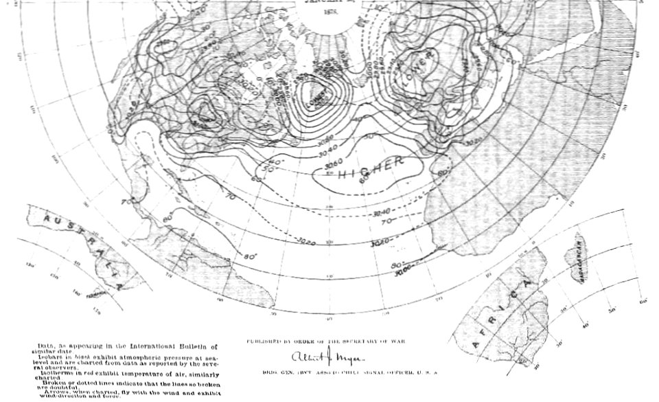
old weather and climate maps
1880 maps
old maps of new york city
english-language maps
old maps of the middle east
jr
maps made in the 17th century
maps by pieter schenk (i)
maps made in the 17th century
maps by nicolaes visscher i
maps with cartouches
atlas van der hagen
the northern hemisphere of the celestial globe by albrecht dürer
old celestial maps
description de l'universe
old maps of valletta
prints in the rijksmuseum amsterdam
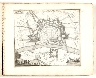
old maps of venlo
description de l'universe
old maps of japan
old maps of istanbul
giuseppe rosaccio
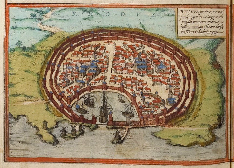
old maps of rhodes (city)
braun & hogenberg
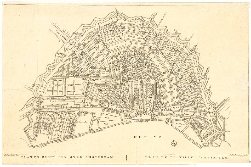
old maps of amsterdam
evert maaskamp
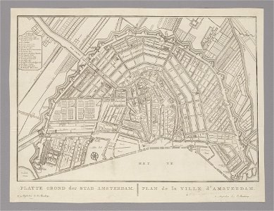
old maps of amsterdam
evert maaskamp
old maps of amsterdam
evert maaskamp
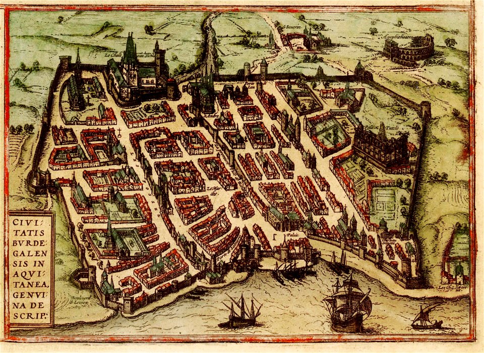
old maps of bordeaux
braun & hogenberg
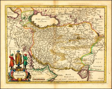
old maps of iran
matthäus merian
brooklyn borough hall
new york city hall
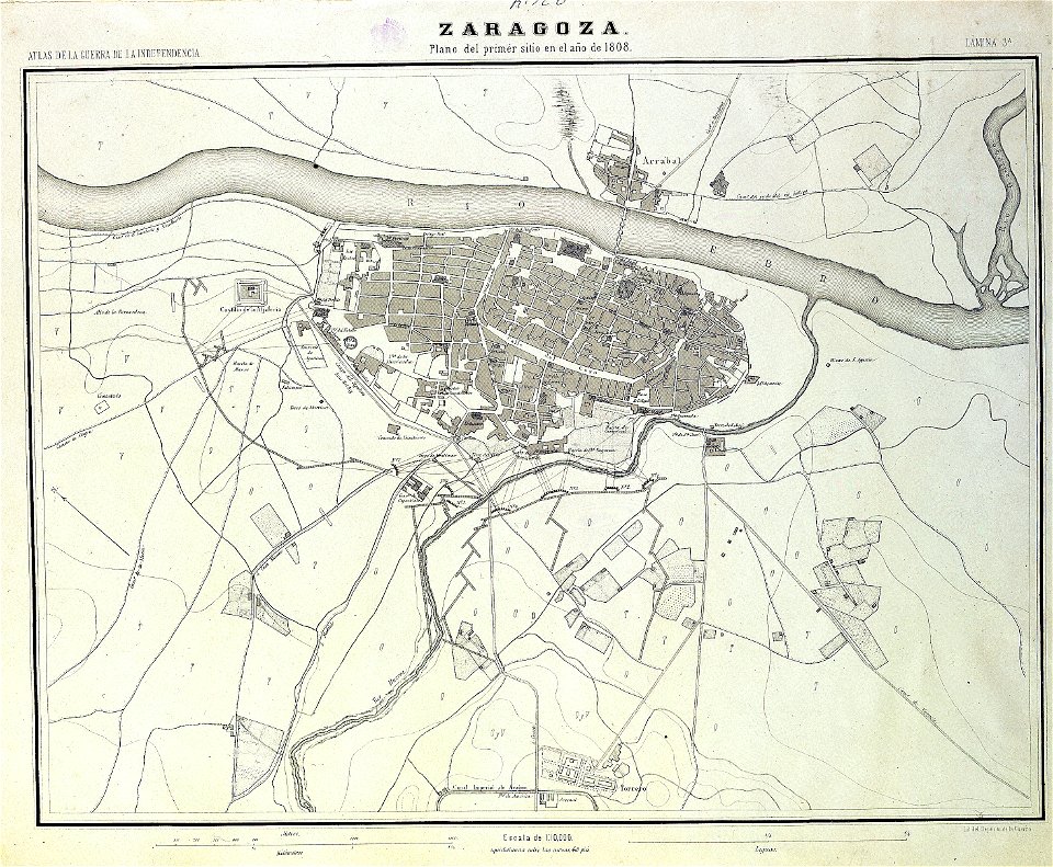
sitio de zaragoza (1808)
1868
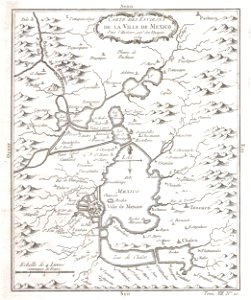
old maps of mexico
covens en mortier
johann baptist homann
latin-language maps
old maps of manhattan
new york city
globe
maps
maps with cartouches
atlas van der hagen
maps with cartouches
old maps of silesia
maps with cartouches
ships on maps
old maps of crimea
1856 maps
pleasant hill
missouri
old maps of nuremberg
gerard valck
university of toronto wenceslas hollar digital collection
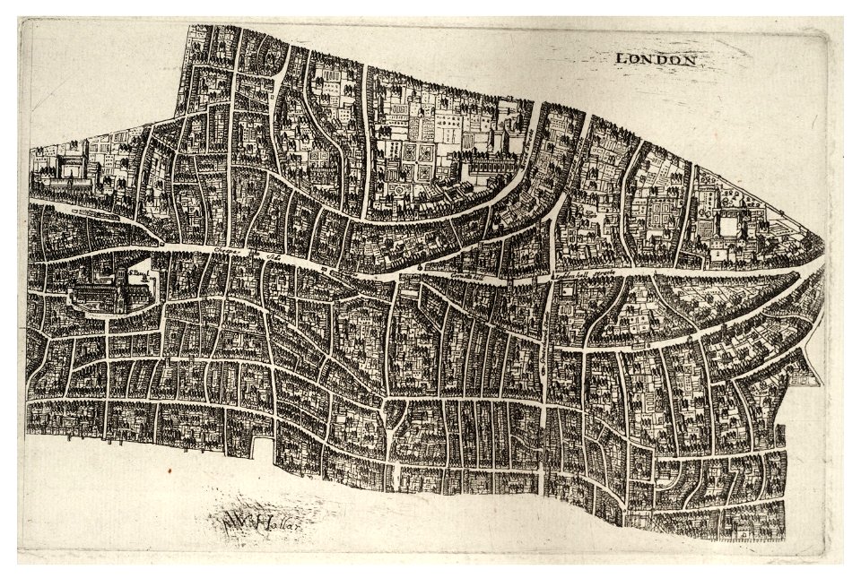
hollar maps and plans of london
university of toronto wenceslas hollar digital collection
hollar maps and plans of london
maps made in the 17th century
gerard valck
old maps of scandinavia
johannes ratelband
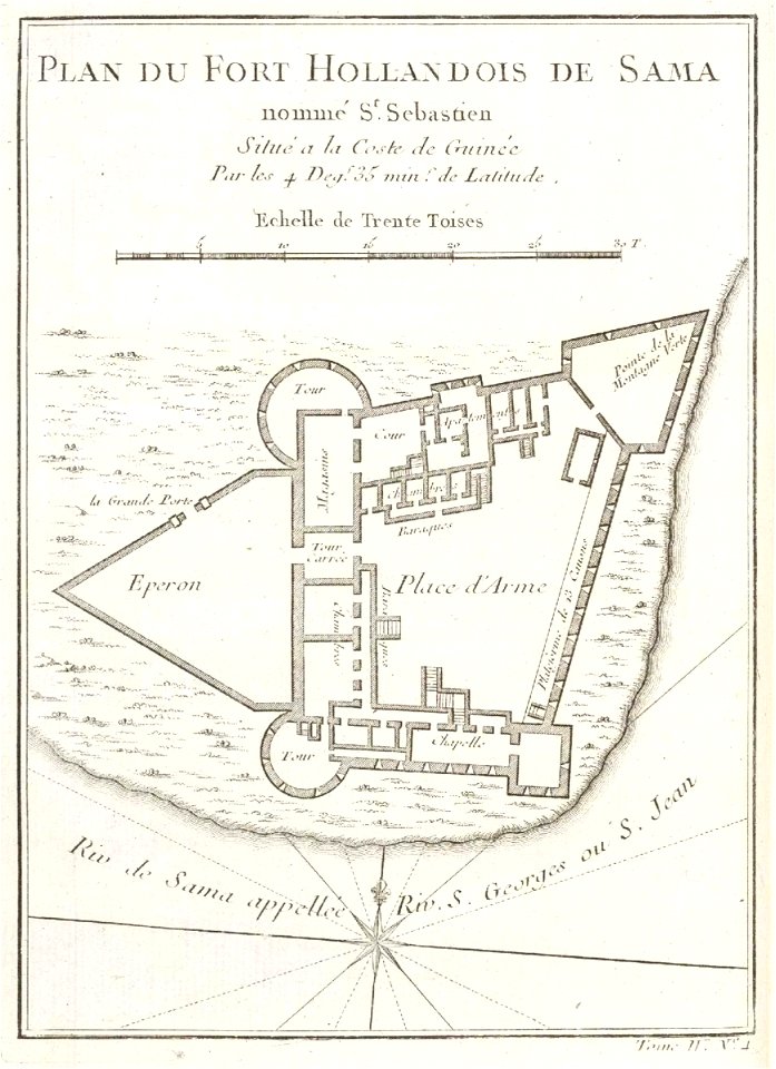
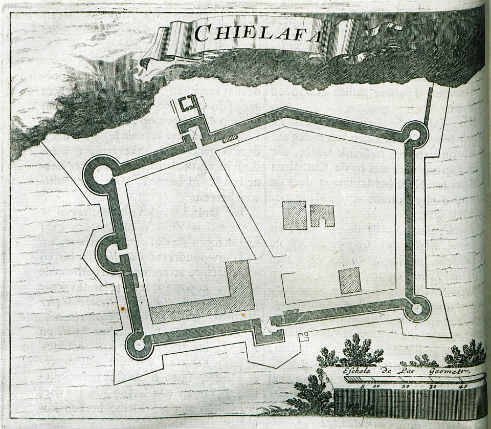
17th-century fortress plans
coats of arms on maps
copper engraving
beavers in art
prints from bonne atlas de toutes les parties at the peace palace library
dien (printer)
maps in the rijksmuseum amsterdam
sloten (amsterdam)
david rumsey historical map collection
maps by frederick de wit
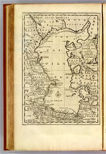
maps of central asia
maps of kazakhstan
2601 - 2700 of 11,660
Next page
/ 117